B.C. Forest Fires Update
As many of you know, my fabulous sister Deb lives at 150 Mile House and works for BC Forest Service. Recently, she was ‘out on a fire’ – the Long John fire west of Quesnel (fire # C10218 west of Kersley, south of Quesnel) for 2 weeks; now she’s working in the Cariboo Fire Centre. Also, my great-nephew Jason is/was on the Kamloops fire. (Fire-fighting crews can only go in for 2 weeks at a time, then they must take a break.)
Realizing that I’m not the only person with friends and relatives in B.C., I’ve decided to update the fire situation, plus provide you with links where you can read the latest updates and also give a link to the latest in reporting; a Fire Detection Map – a satellite mapping system that shows the fire spots and the relative size – in almost real time. The map is updated every six hours. – Editor
—————————
All forest fires are serious; but the Meldrum Creek Complex is threatening the Cariboo city of Williams Lake, home of the famous Williams Lake Stampede.
My sister told me that last night she was sitting on the deck and visiting with a friend when suddenly chunks of fir boughs blackened by the Meldrum Creek Complex fire were landing on the deck. “That made the threat very real,” she said.
Currently, the fire is approximately 15 miles away from the city of Williams Lake and is big enough/hot enough to cause its own windstorms. If it jumps the Fraser River, they’ll evacuate the city.
Here’s the information on the Meldrum Creek fire:
Meldrum Creek Complex (west of Williams Lake) (C20189) FYI – fire #: This is how fires are listed on the Fire Detection Map.
Last updated: Wednesday, August 18, 2010 at 5:01 PM
Location: South of Meldrum Creek
Discovered: Wednesday, July 28, 2010
Size: 36,000.0 hectares (estimated)
Status: Active
The combined size of these fires now covers 36,000 hectares, or 360 square kilometres. Fire officials have serious concerns with a dry cold front that is moving through the region today. Increased fire activity and increased smoke can be expected for all fires and fire complexes within the Cariboo Fire Centre.
There are NO Meldrum Complex fires burning on the east side of the Fraser River.
NW of Twan Creek(C20263)
Size: 10,300.0 hectares; 10% contained
Guards have been constructed from a fire NW of Twan Creek to Tautri Lake Road to Pelican Lake Road to 100 Road.
Marguerite Ferry (C10221)
Size: 2,400.0 hectares; 90% contained
South of Meldrum Creek (C20189)
10,893.0 hectares; 90% contained
Structural protection personnel will focus on residences in Meldrum Creek.
Interface: Interface Fire
Structural protection personnel will focus on residences in Meldrum Creek.
Evacuation Order is in effect.
Evacuation alerts and orders remain in place for some residents within the vicinity of the Meldrum Complex. Please call the emergency operations centre for more information at 250-392-4283, 250-392-3286 or www.cariboord.bc.ca
More information
This complex involves multiple fires within this area that are being managed by one specialized Incident Management Team. The Twan Creek fire and Marguerite Ferry fire will now be updated under this complex.
Cause: Lightning
Resources
• 484 firefighters
• 14 helicopters
• 56 heavy equipment
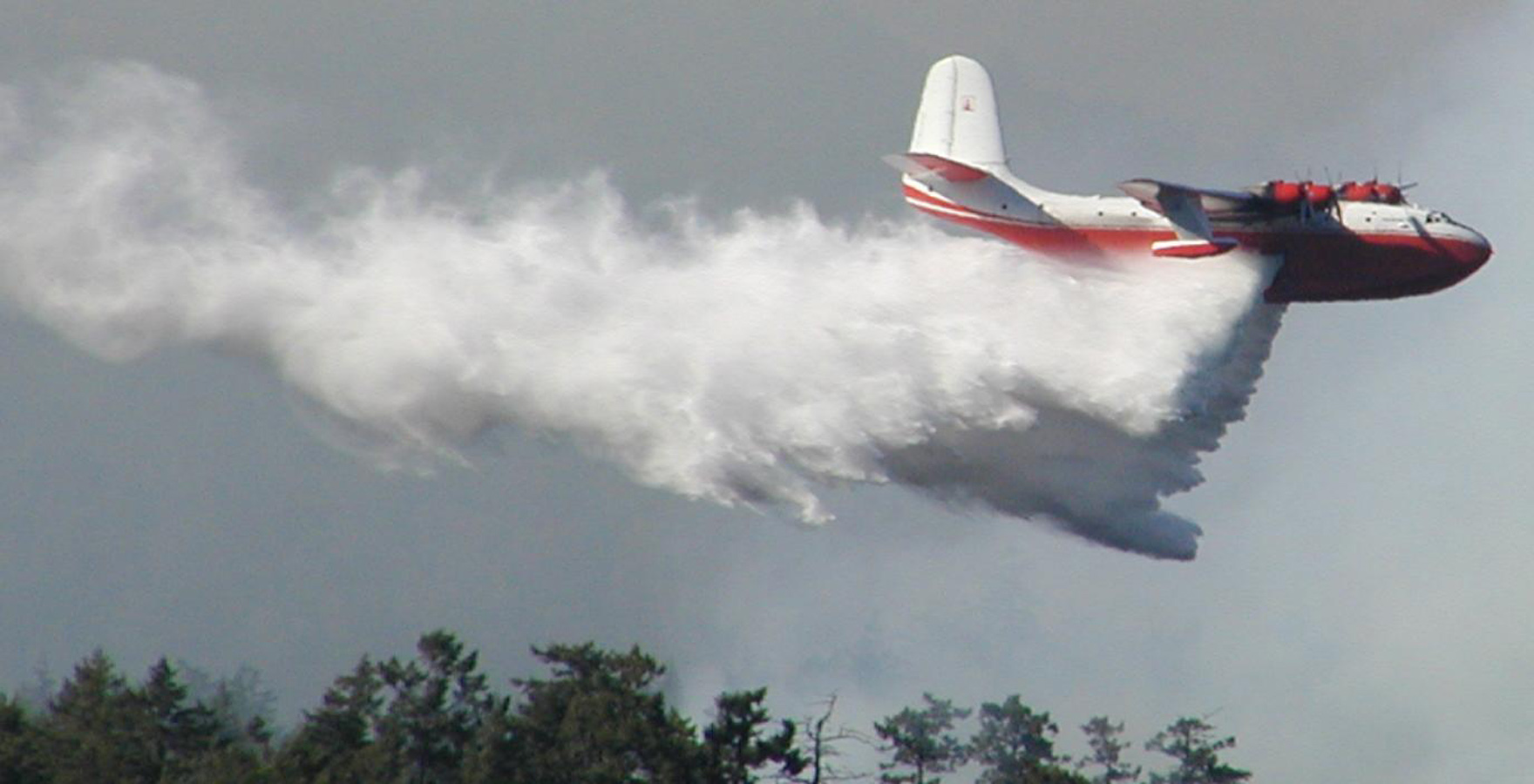
There are 552 total personnel working on this complex of fires. These resources are being shared with other fires in a complex. Airtankers are available as needed.
Fire crews may be conducting burn-off operations today if the weather permits. These burn-offs reduce the fuel between a constructed fire guard and the fire’s perimeter, thus reducing the spread of the fire. Smoke from these burn-offs will be visible to surrounding communities such as Riske Creek and Williams Lake. For public safety, there will be some public road closures in areas of the burn-offs.
————————-
LINKS:
Fire Detection Map: (Canada and US)
http://activefiremaps.fs.fed.us/activefiremaps.php?sensor=modis&extent=canada&op=maps&rCode=bce
Further information about wildfire activity can be found at www.bcwildfire.ca
DriveBC Road conditions and closures
BC Air Quality The Air Quality Health Index is a health protection tool that is designed to help you make decisions to protect your health by limiting short-term exposure to air pollution and adjusting your activity levels during increased levels of air pollution.


